huntingbret
Well-known member
- Joined
- Jul 13, 2008
- Messages
- 1,543
- Reaction score
- 9
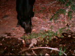
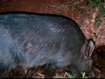
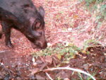
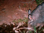
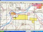
Mapmaker, that is a great map. Are there any pigs up in those two areas that are marked? The map also mentioned that access to the place requires permission from private landowners? Who would ask for that? Have you hunted that area too?